


![]()
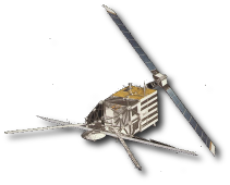
ERS-1 was the first of the European Remote Sensing satellites, launched on 17 July 1991. It contained a Ku-band nadir-pointing radar altimeter optimised for measurements over both ocean and ice.
ERS-1 covers 82°N to 82°S and has 3 different repeat cycles
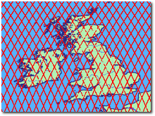
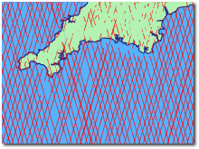
- Ice Mode
- 3 days
- Multi disciplinary
- 35 days
- Geodetic
- 336 days
The successor is ERS-2 and ERS-1 was retired March 2000.